4–6 days at the hidden mountain lakes
{mb_route_verfügbare_aktivitaeten}
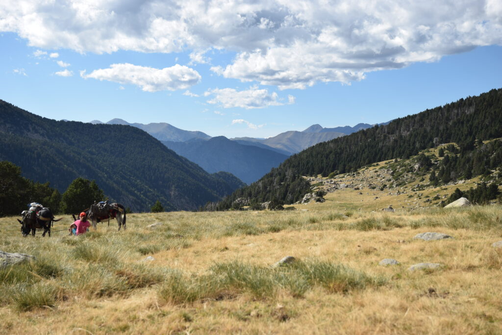
A mountain adventure in the wild heart of the Pyrenees
Jetzt buchen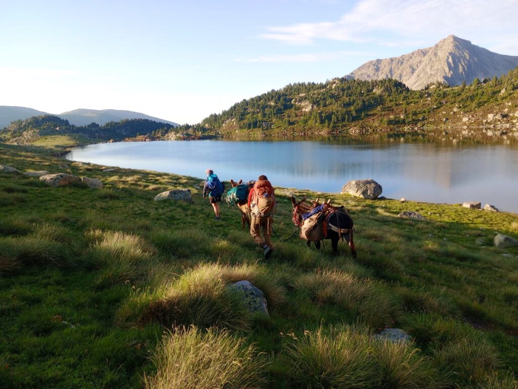
{mb_route_route_standort}
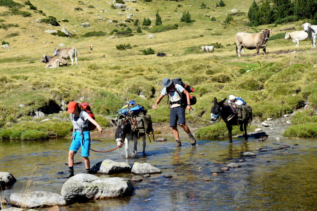
On this trail, you truly escape from civilization and immerse yourself in the remote mountain world. The route leads through the mountains of Cerdanya and Andorra, crossing three high mountain passes at around 2,500 meters and passing numerous small and large mountain lakes.
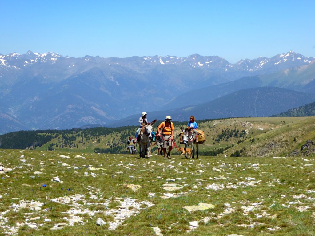
Thanks to the many opportunities for bivouacking, the trek can easily be adapted to your own pace. The trail can be completed in four stages, though this is quite demanding. A division into five or six stages is possible for those who prefer a more relaxed pace.
Most stages end at unstaffed mountain huts, but along the way you will also find three staffed refuges. This makes it easy to combine nights in a bivouac or tent with stays in mountain huts.
This circular trekking route to the hidden mountain lakes is a true adventure in a remote high-mountain landscape —perfect for outdoor enthusiasts and also suitable for families with children who already have some hiking experience.
Art der Begleitung
Schwierigkeitsgrad
Übernachtung
Saison des Jahres
Preis
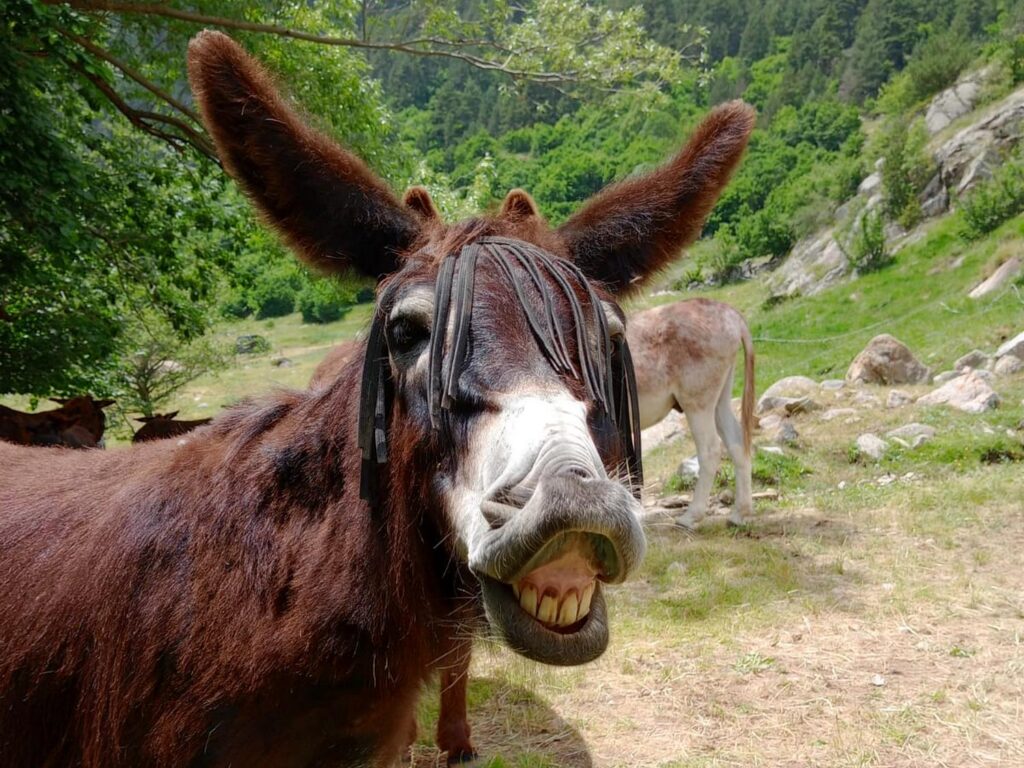
Please see the Prices section on our website for donkey rental rates, where you will also find information about how the routes are organized.
Route Detail
Distance: 7.7 km
Elevation: +504 m
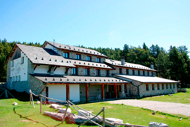
The trail begins in the idyllic Llosa Valley, winding through shady forests and alpine meadows before reaching the mountain village of Lles. From here, it’s a steady climb up to Refugi Cap de Rec, a comfortable staffed mountain hut offering dormitories, double and family rooms, warm showers, and hearty meals.
-
Alternative bivouac option: Camp at El Cortal del Gral or hike 2 km further to the unstaffed Refugi Prat de la Cot.
Distance: 9.1 km
Elevation: +207 m / -65 m
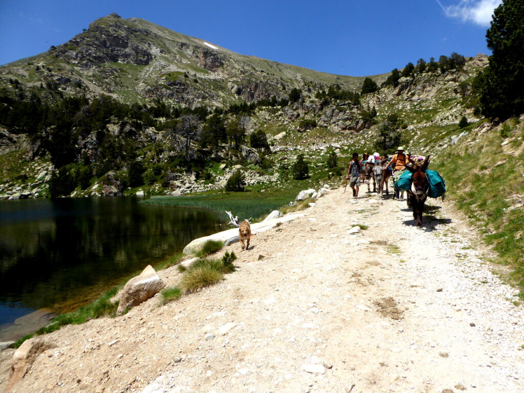
The second stage leads through dense spruce forests and past the spring Font dels Pollineres before opening up to the glittering mountain lakes of Estanys de la Pera. From Font dels Pollineres to Estany de la Pera, a picturesque hiking path winds its way past a charming little waterfall. This stage ends at the beautifully located Refugi Estanys de la Pera, a staffed hut with meals and 35 beds.
-
From the camping/bivouac option: 8.3 km, +451 m
Distance: 5 km
Elevation: +242 m / -414 m
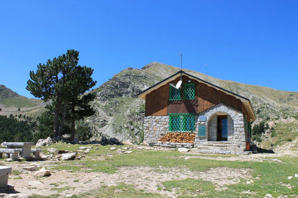
Starting from Estany de la Pera, the trail climbs steeply up to the Perafita Pass, which marks the Andorra–Spain border. Along the way, you pass the beautiful Estany de la Nou, a small mountain lake nestled in the mountain meadows. This shorter stage then leads to the simple and unstaffed Refugi de Perafita. The hut offers space for 6 hikers, a water source, and a fireplace.
Distance: 7.2 km
Elevation: +453 m / -425 m
A beautiful high-mountain stage through the UNESCO-protected Vall de Madriu with panoramic views. Shortly after leaving, you reach the mountain pass Col de Maiana, then descend into the enchanting Vall de Madriu. The night is spent at the unstaffed Refugi de l’Orris, a romantic hut nestled beside a gently flowing mountain stream—a peaceful haven surrounded by pristine nature.
Distance: 2.8 km
Elevation: +259 m
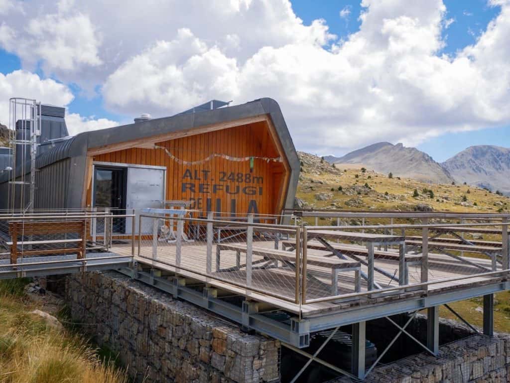
A shorter climb brings you to Refugi de l’Illa, a staffed hut with meals available by reservation. Nestled in a spectacular cirque of rugged peaks and alpine lakes, it’s one of the most scenic stops of the trek.
Distance: 5.1 km
Elevation: +504 m / -97 m
Cross the Port de Vallcivera pass and enjoy sweeping views of the rugged high Pyrenees. The trail leads through remote alpine terrain with wide-open meadows and jagged peaks on the horizon, offering a real sense of wilderness. The day ends at the rustic Cabaña dels Espaveres, a small traditional shepherd’s hut with space for 4–5 hikers. Its simple but cozy setting makes it a perfect spot to experience the solitude of the mountains.
As an optional extension, you can add an extra stage via the Refugi Montmalus, which takes you deeper into stunning high-mountain scenery and offers a night in another unstaffed refuge along the way.
Distance: 6.4 km
Elevation: -623 m / +28 m
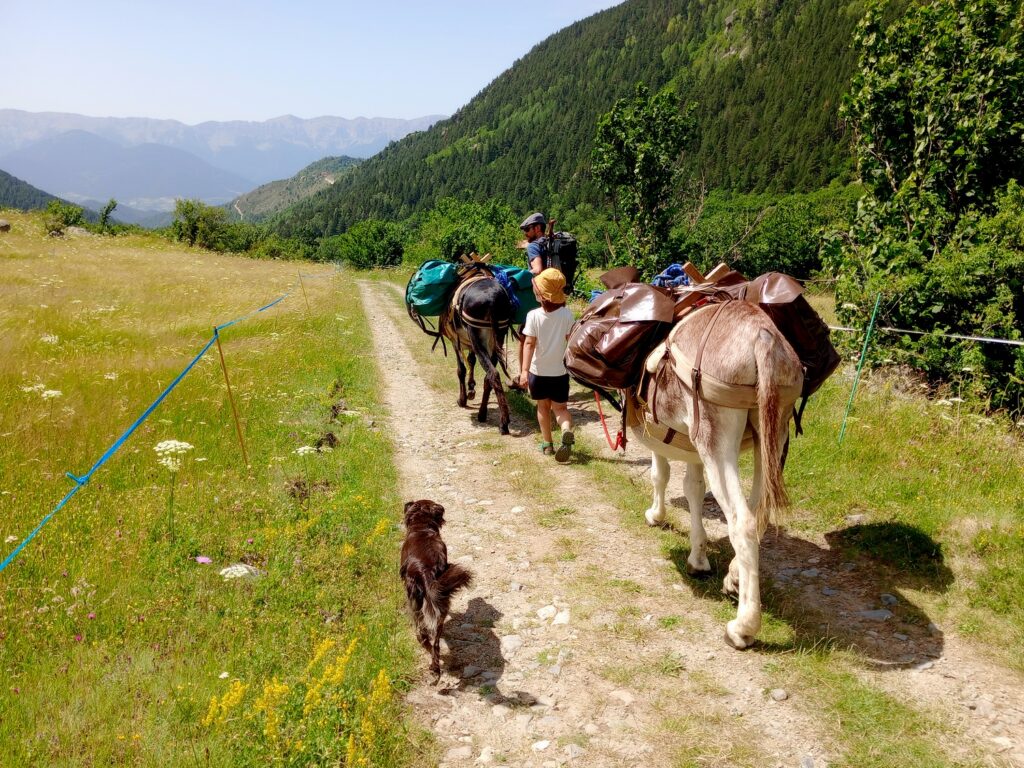
The final descent leads you gently back along a gravel road through the quiet Llosa Valley, following the river’s flow—perhaps with one last refreshing swim. Wide meadows open up, and you bid farewell to the marmots and cows that accompanied your journey through this pristine nature reserve. The trek ends at Cal Jan de la Llosa, where you can set up camp and savor the tranquility of the valley. As the evening settles in, it’s the perfect place to reflect on the past days’ adventures and slowly return from the magic of the mountains back to everyday life.
Relevante Informationen
Reservierung der Unterkunft:
{mb_route_unterkunft_hotel_name}
{mb_route_unterkunft_aufenthalt_dauer}
{mb_route_unterkunft_hotel_name}
{mb_route_unterkunft_aufenthalt_dauer}
Preis: 16.50€ per person with breakfast
https://www.estanysdelapera.cat
{mb_route_unterkunft_hotel_name}
{mb_route_unterkunft_aufenthalt_dauer}
Preis: 21.50 per person/night
https://www.refugidelilla.ad